The Ultimate Quebrada del Condorito Hiking Guide for 2026
Finding a reliable Quebrada del Condorito hiking guide is the first step toward an unforgettable adventure in Argentina. Located in the high Sierras of Córdoba, this national park offers breathtaking views and rare wildlife. It is one of the few places where you can see Andean condors up close. The park protects the unique eco-region of the Pampa de Achala. Hikers of all levels will find something to enjoy here. The air is crisp, and the scenery is unlike anywhere else in the country.
Planning Your Quebrada del Condorito Adventure
Before you lace up your boots, you must understand the park's layout. Quebrada del Condorito sits at a high altitude. This means the weather can change very quickly. You should always prepare for wind and sun. The Agencia Córdoba Turismo provides updated weather alerts for the region. Most visitors travel from Córdoba city or Villa Carlos Paz. Having a plan ensures you see the best spots without stress. Check out our what to know before visiting Quebrada del Condorito guide for deeper logistical details. This area is famous for granite rock formations and vast grasslands.
Quick Picks:
- Best Overall: Balcón Norte Trail for condor sightings.
- Best for Families: The Interpretive Center and short nearby loops.
- Best for Fitness: The descent to the Condorito River.
- Best Near Trip: Exploring the beaches of Mina Clavero.
9 Highlights for Your Quebrada del Condorito Hiking Guide
This list covers the most iconic trails and experiences in and around the park. Use these specific locations to build your perfect itinerary. Each spot offers a different perspective on the Córdoba mountains.
-
Name: Balcón Norte
Type: Sight/Hiking Trail
Why go: This is the most famous trek in the park. It leads to a massive cliff where condors nest. You will have a 360-degree view of the gorge. It is one of the best spots for condor watching in South America.
Best for: Wildlife lovers.
Where: Main access area via the visitor center.
Time: 4 hours round trip.
Cost: Free (Park entry is typically free).
Getting there: Follow the main path from the Achala entrance.
Tip: Bring binoculars to see the nests across the canyon. -
Name: Balcón Sur
Type: Advanced Trek
Why go: This trail is less crowded than the northern side. It offers a different angle of the deep canyon. You need a registered guide to access this specific area in most seasons.
Best for: Experienced hikers seeking solitude.
Where: Southern rim of the gorge.
Time: 6-8 hours.
Cost: Moderate (requires a professional guide fee).
Getting there: Access is limited; coordinate with park rangers.
Tip: Check for guide availability at the visitor center first. -
Name: Quebrada del Río Condorito
Type: Nature/River Trail
Why go: This steep trail takes you from the high plateau down to the riverbed. You can see the crystal-clear water and unique flora. It is a challenging but rewarding climb back up.
Best for: People who enjoy elevation changes.
Where: Below the main balconies.
Time: 5-6 hours.
Cost: Free.
Getting there: Follow the marked descent from the Balcón Norte path.
Tip: Wear boots with excellent ankle support for the rocky terrain. -
Name: Centro de Visitantes Achala
Type: Experience/Education
Why go: This is the starting point for every visit. It features excellent exhibits on local geology and condor biology. You must register here before starting any hike.
Best for: Everyone/History buffs.
Where: Entrance of the National Park.
Time: 30-45 minutes.
Cost: Free.
Getting there: Main road (RP 34).
Tip: Fill your water bottles here and check the latest wind reports. -
Name: Pampa de Achala Rock Formations
Type: Viewpoint/Nature
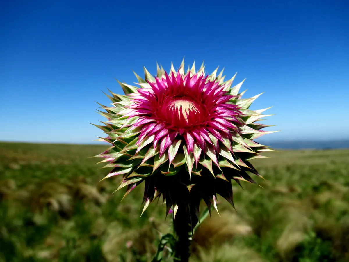
Why go: The granite formations here look like natural sculptures. It is a great place to see the "Tabaquillo" trees. These trees are unique to high-altitude mountain forests.
Best for: Photographers.
Where: Surrounding the main trails.
Time: 1-2 hours.
Cost: Free.
Getting there: Walkable from any main trail.
Tip: Look for the small lizards that sunbathe on the rocks. -
Name: Camino de las Altas Cumbres
Type: Scenic Drive
Why go: This is the highway you take to reach the park. It is one of the most beautiful roads in Argentina. It winds through high peaks and offers many pull-off points.
Best for: Road trip enthusiasts.
Where: Connects Córdoba to the Traslasierra Valley.
Time: 2 hours drive.
Cost: Low (fuel and tolls).
Getting there: Scenic Route RP 34.
Tip: Stop at the roadside stalls for high-quality local goat cheese. -
Name: Los Gigantes
Type: Day Trip/Hiking
Why go: If you love Condorito, you will love Los Gigantes. This mountain range offers world-class rock climbing and trekking. It feels like a prehistoric landscape. Discover Los Gigantes trekking routes for your next day out.
Best for: Serious climbers and hikers.
Where: 50km from Carlos Paz.
Time: Full day.
Cost: Low (usually a small land-access fee).
Getting there: Dirt road from Tanti.
Tip: Hiring a guide is highly recommended due to complex trail systems. -
Name: Mina Clavero River
Type: Day Trip/Nature
Why go: After a hot hike, the cool waters here are perfect. This river was voted one of the Seven Natural Wonders of Argentina. It features deep pools and sandy banks. Visit the Mina Clavero river beaches for a relaxing afternoon.
Best for: Relaxing after hiking.
Where: Traslasierra Valley.
Time: Full day.
Cost: Free/Low.
Getting there: Continue past the park on RP 34 for 45 minutes.
Tip: Visit the "Nido del Águila" spot for the best swimming. -
Name: Villa Carlos Paz Waterfront
Type: Neighborhood/Experience
Why go: This is the nearest large city for supplies and dining. The waterfront walk (Costanera) is beautiful at sunset. It provides a contrast to the wild solitude of the park.
Best for: Evening entertainment.
Where: 45 minutes from the park entrance.
Time: 2-3 hours.
Cost: Free to walk.
Getting there: Main highway from the park.
Tip: Try the alfajores from local shops for a sweet treat.
Essential Preparation and Safety Advice
Your safety is the priority in this Quebrada del Condorito hiking guide. The sun at 2,000 meters is extremely strong. You should apply sunscreen every two hours. Temperatures can drop 10 degrees in minutes if the clouds roll in. Always pack a windbreaker and a warm layer. For those driving from the city, consider these car rental in Córdoba tips to find a sturdy vehicle. A 2WD car is usually fine for the paved RP 34 highway. However, you should check your brakes before mountain driving.
Water is another critical factor for your trek. There are very few places to refill once you leave the visitor center. Carry at least two liters per person. Many trails are well-marked, but mountain fogs can hide signs. Staying on the path protects the local mosses and grasses. The Visit Argentina national site suggests registering your hike online when possible. This helps park rangers keep track of visitors during peak seasons.
Frequently Asked Questions
What is the best time of year to visit Quebrada del Condorito?
The best time to visit is during spring or autumn. From September to November and March to May, temperatures are mild. Winter is clear but very cold with occasional snow. Summer is the rainy season, which can make trails slippery and foggy, potentially hiding the condors.
Do I need to pay an entrance fee for the national park?
As of 2026, entry to Quebrada del Condorito National Park is free for both locals and tourists. However, you must register at the visitor center upon arrival for safety. Some specialized trails or overnight camping may require hiring a professional mountain guide for a fee.
Can I reach Quebrada del Condorito by public transport?
Yes, you can take a bus from Córdoba city headed toward Mina Clavero. Ask the driver to drop you off at the entrance called "La Pampilla." From there, you must walk about two kilometers to reach the visitor center and start the actual hiking trails.
A visit to Quebrada del Condorito is a highlight of any trip to Argentina. This guide helps you navigate the high Sierras with confidence. From watching giant condors to exploring rocky rivers, the park offers pure natural beauty. Remember to respect the wildlife and leave no trace. If you have extra time, explore the best hiking trails near Córdoba to see more of this region. Pack your bags, stay safe, and enjoy the majestic views of the Achala plateau.
Official resources
Use these sources for official schedules, tickets, routes, and updates.
- Municipalidad de Córdoba — unverified: Official government portal for the city.
- Agencia Córdoba Turismo — unverified: Provincial tourism board for Córdoba province.
- UNESCO World Heritage Centre — unverified: Official UNESCO listing for the Jesuit Block.
- Lonely Planet — unverified: High-authority editorial travel guide.
- Universidad Nacional de Córdoba — unverified: Major public educational and historical institution.
- Aeropuertos Argentina 2000 — unverified: Official airport management authority.